


Resources
Access the essential tools to help with your genealogy or local history research.
Local History & Genealogy
intro text
Explore our books, pamphlets, clippings and other written sources that tell the story of Topeka’s unique history. You will also find photographs, prints, posters, scrapbooks and audio-visual materials that help bring this history to life. The Topeka Room houses the library’s local history collection. Our digital collection includes historical photographs and the Sherwood Smith blueprints.
Newspapers Section

Programs & Classes
Events
Jun
10
 Jun 10 | 03:00PM - 4:30PM
The Historian Is In!
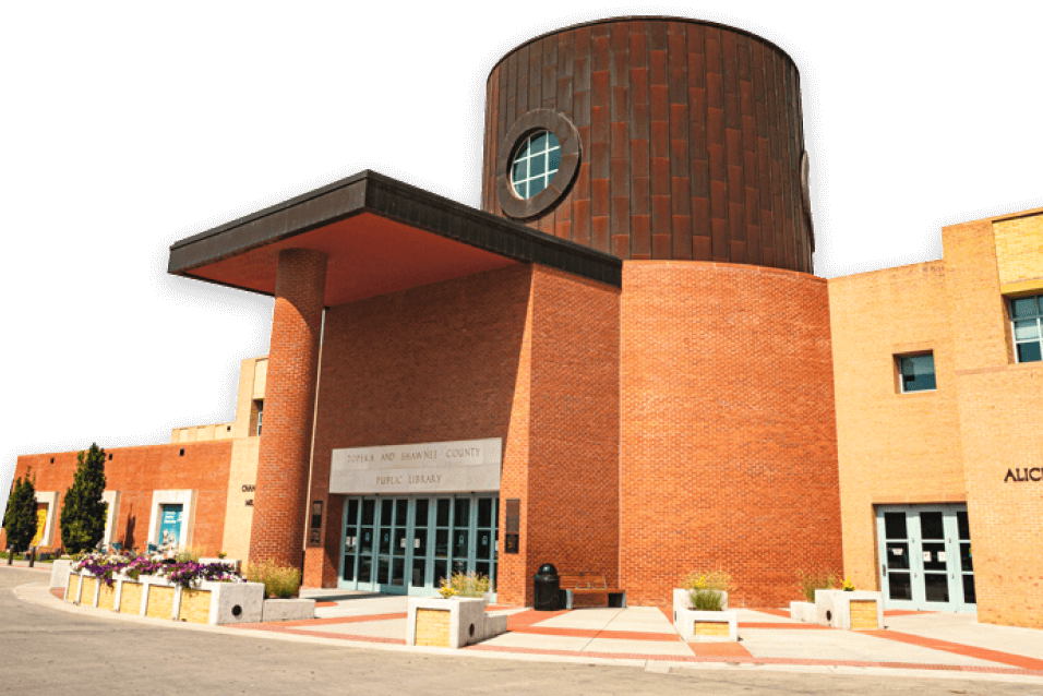
Topeka and Shawnee County Public Library, Topeka Room 204
Jun
11
Jun 10 | 03:00PM - 4:30PM
The Historian Is In!
Topeka and Shawnee County Public Library, Topeka Room 204
Jun
11
 Jun 11 | 10:00AM - 11:30AM
March to the Beat of Liberty
Topeka and Shawnee County Public Library, Learning Center
Jun
12
Jun 11 | 10:00AM - 11:30AM
March to the Beat of Liberty
Topeka and Shawnee County Public Library, Learning Center
Jun
12
 Jun 12 | 07:00PM - 8:30PM
Tornado of '66 - Share Your Stories
Topeka and Shawnee County Public Library, Marvin Auditorium 101BC
Jun
15
Jun 15 | 06:00PM - 7:00PM
A History of Severe Weather in Shawnee County
Topeka and Shawnee County Public Library, Marvin Auditorium 101C
Jun 12 | 07:00PM - 8:30PM
Tornado of '66 - Share Your Stories
Topeka and Shawnee County Public Library, Marvin Auditorium 101BC
Jun
15
Jun 15 | 06:00PM - 7:00PM
A History of Severe Weather in Shawnee County
Topeka and Shawnee County Public Library, Marvin Auditorium 101C
Jun 10 | 03:00PM - 4:30PM
The Historian Is In!
Topeka and Shawnee County Public Library, Topeka Room 204
Jun
11
Jun 11 | 10:00AM - 11:30AM
March to the Beat of Liberty
Topeka and Shawnee County Public Library, Learning Center
Jun
12
Jun 12 | 07:00PM - 8:30PM
Tornado of '66 - Share Your Stories
Topeka and Shawnee County Public Library, Marvin Auditorium 101BC
Jun
15
Jun 15 | 06:00PM - 7:00PM
A History of Severe Weather in Shawnee County
Topeka and Shawnee County Public Library, Marvin Auditorium 101C
Genealogy & Local History Articles
 May 18, 2026 ·
Celebrating a Legacy: Geneaologist Sherri Camp Retiring
Our genealogy librarian has spent decades ensuring diverse stories and family histories are preserved, celebrated and honored in Topeka.
Read More
Read More
May 18, 2026 ·
Celebrating a Legacy: Geneaologist Sherri Camp Retiring
Our genealogy librarian has spent decades ensuring diverse stories and family histories are preserved, celebrated and honored in Topeka.
Read More
Read More